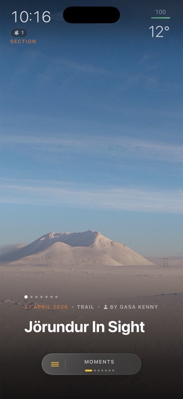
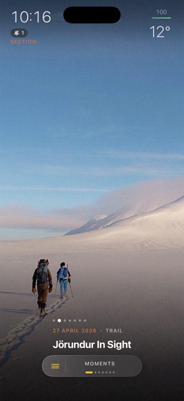
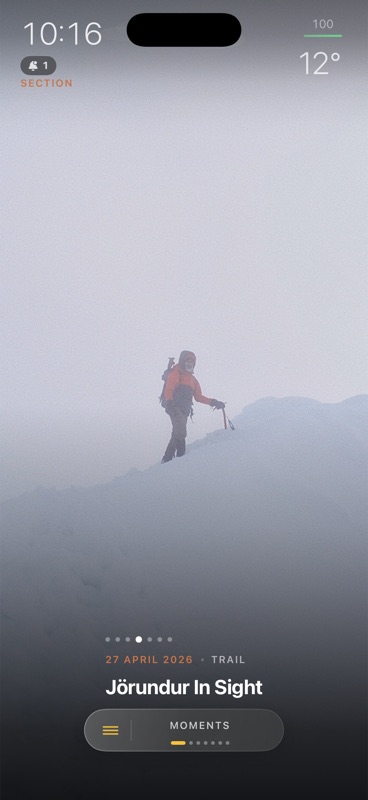
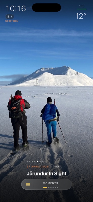
Jörundur In Sight
Talus Cloud
Your recovery link worked. Choose a new password here, or open Talus on your iPhone to finish inside the app.
Open Talus on this iPhoneUse at least 8 characters, one uppercase letter, one number, and one special character.
Plan together. Walk together. Your hike returns as an Adventure: the photos, the trail, the people, the day, kept where it happened.
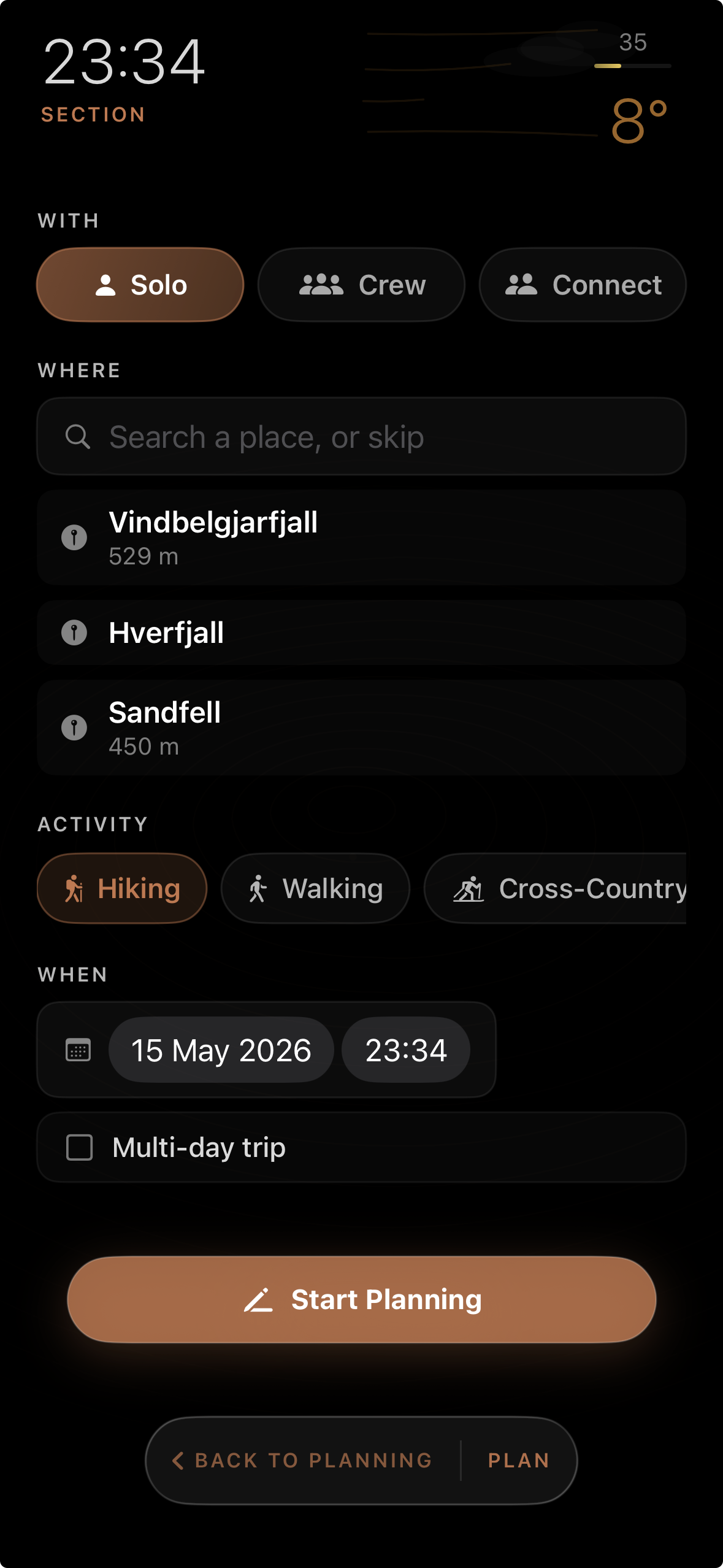
Plan together
A single day or a ninety-kilometre week. Sketch the route together on one map. Invite who's coming, Solo, Crew, or Connect, and layer the weather before anyone leaves the city.
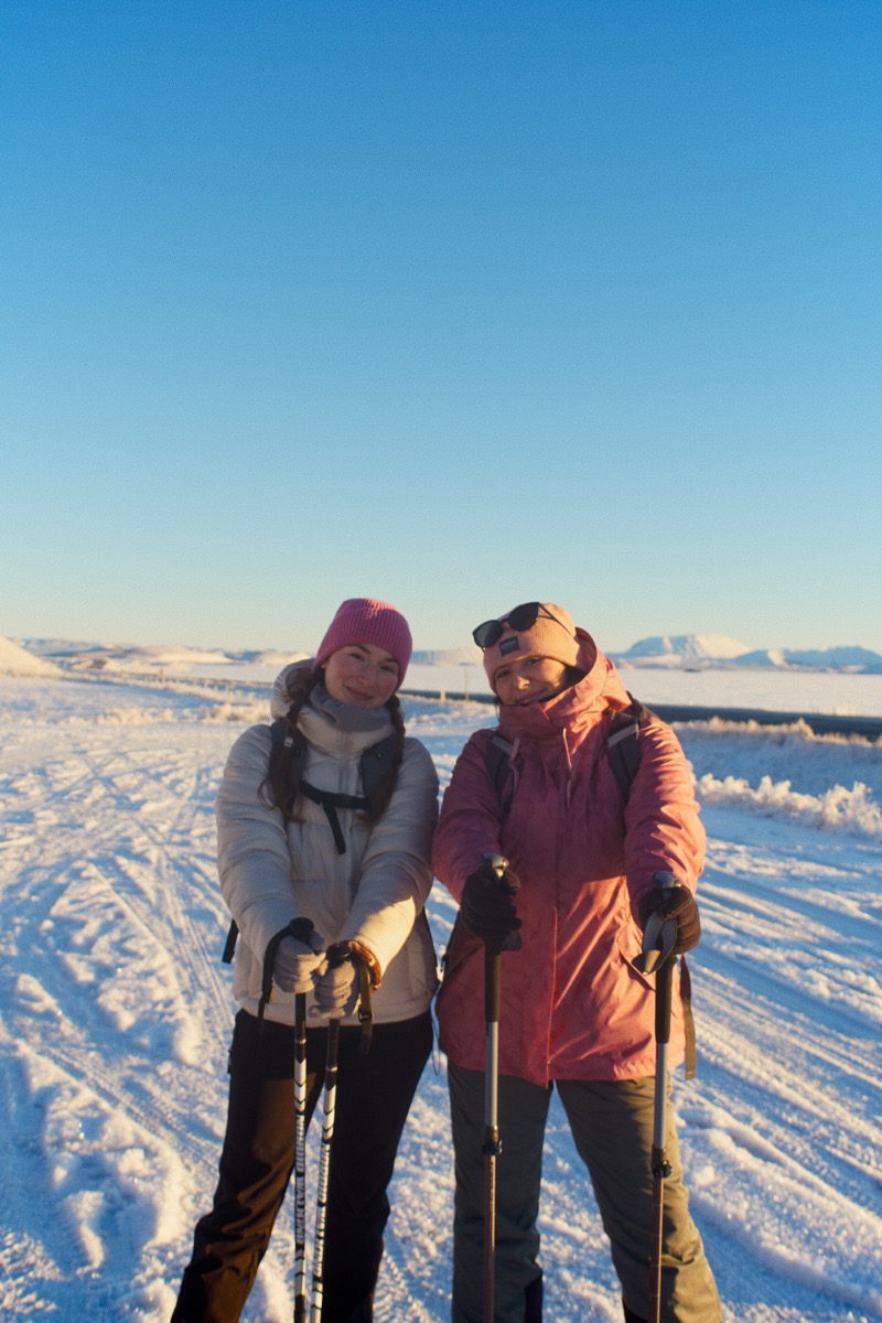
Hike together
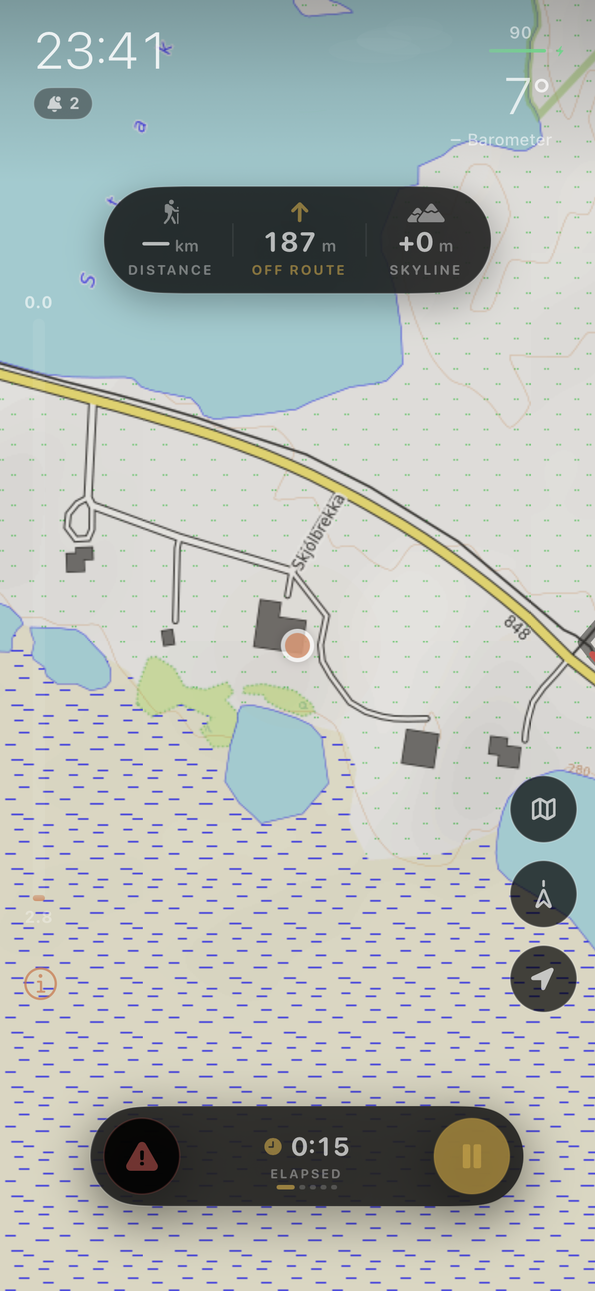
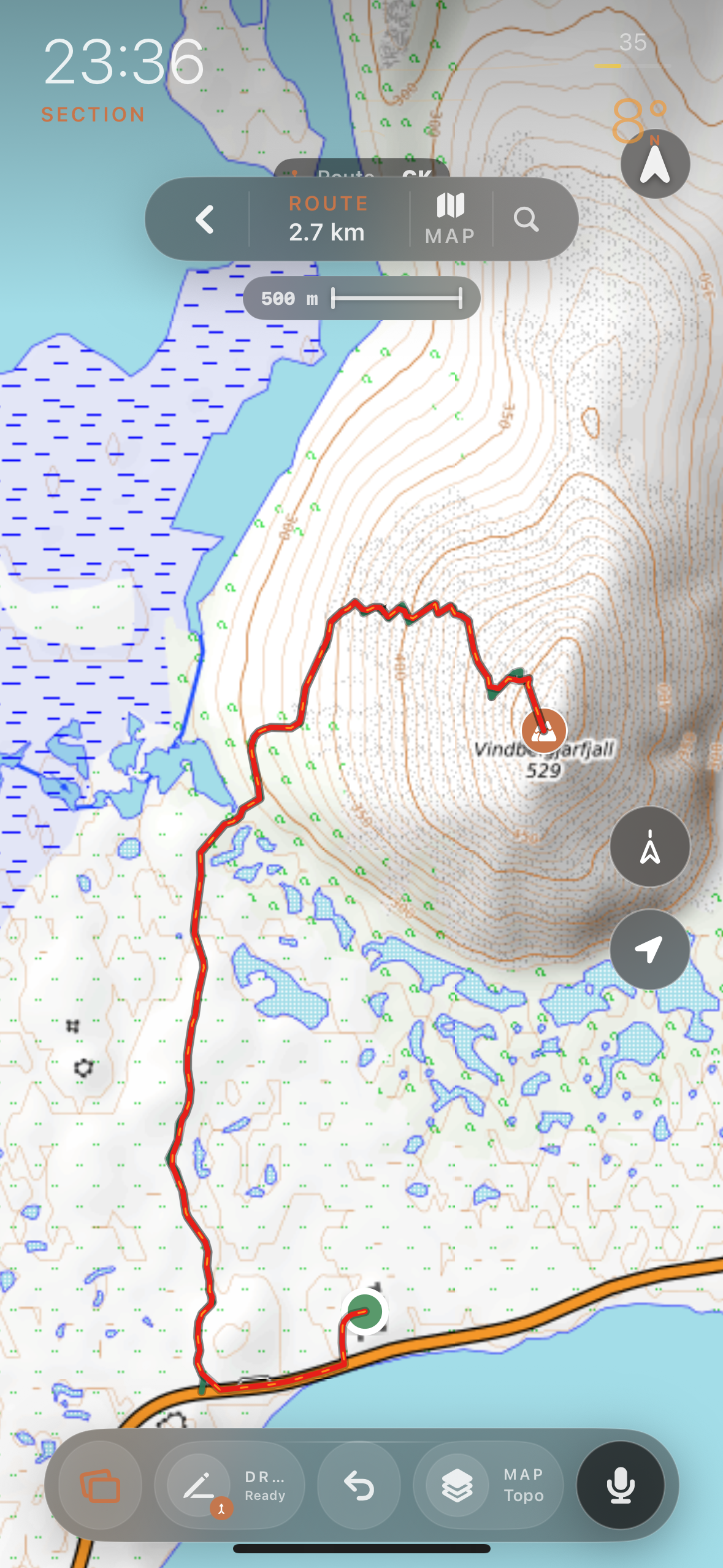
Iceland-tested narration on curated trails. Everywhere else, the map and the route work without signal. Off-route, distance, and skyline at a glance, nothing else in your way.
Share together
Your hiking circle, here, with no likes and no follower count. Post out to your other feeds if you want. That is not what this is.
This is what comes back
Not a feed post. A page that holds the whole day: the route you walked, the photos in the order you took them, the people who were there.
Curated Hikes
A growing library of short, immersive hikes, starting in North Iceland. The folklore, the geology, the names this land already carries, paired to where you stand on the trail. Voiced in place. Cached for offline.
First trails: Jörundur In Sight · Vindbelgjarfjall · Hverir. North Iceland, more on the way.
Born of necessity
Signal drops behind the first ridge. Weather turns in minutes. The trail you planned can be a river by afternoon. Talus Cloud was forged for that: the map works offline, the voice is cached before you leave, the weather window is read in advance, and someone always knows where you are. Built for the country that demands it. Made for anywhere with a trail.
Get the app
Free during open beta. iPhone, iOS 17 and up. Android under consideration.